Mt. Baldy is the largest and least disturbed of only a handful of balds remaining in the Keweenaw Peninsula.
There’s one hike I try to make every year in the Keweenaw, and it’s to the top of Mount Baldy. Located just outside of Eagle Harbor, this trail is a must for anyone who enjoys big views, scenic forests, and getting away from civilization for an afternoon adventure. At around three miles one-way, this is by no means a short hike (especially in the winter). However, both the journey and the destination are well worth adding to your winter to-do list.
At over 1300’ high (and 700’+ above the lake!), Mount Baldy is quite the climb. But if you’re of average fitness it should be no problem, especially if you take your time and plenty of breaks. The views are worth it!
GETTING TO THE TRAILHEAD
We all know the hike as Mount Baldy, but if you want to get specific your destination is the Helmut & Candis Stern Preserve, owned by The Nature Conservancy. Acquired in 2001, the preserve is a true gem of the Keweenaw. Your hike starts out on land owned by Eagle Harbor Township next to the firehall on the Eagle Harbor Cutoff Road. There’s a big sign that’s hard to miss. The preserve parking area isn’t plowed, so either park in the firehall lot (don’t block the garage!) or on the side street opposite the trailhead. Don your snowshoes and head on in.
Mount Baldy (also known as Mount Lookout) at the Helmut & Candis Stern Preserve
BEGIN THE ASCENT
The trail starts with a sharp climb up a sand dune. You wouldn’t know it in winter as it is buried in deep snow! Honestly, that first hill is probably the steepest part of the trail, so don’t be too intimidated if you’re winded already. Things become more gradual after that, though for the most part, the trail is trending uphill the whole way. If your kids already want to be carried to the top, you have a long way to go.
CROSSING CEDAR CREEK
Carefully cross Cedar Creek which serves as the only major obstacle along the trail.
After ¾ of a mile, you’ll reach your only major obstacle: Cedar Creek. It’s just wide enough that jumping over it isn’t possible, and just deep enough that you don’t want to slip or fall in. Fortunately, prior hikers have piled enough logs across the northern side of the creek that it’s possible to cross with relative ease. Be sure to tread carefully to avoid getting your snowshoe stuck. Once you’re over it, you can rest easy knowing that the toughest challenge is behind you.
NO GOING BACK
Things start to get interesting about halfway through your hike when you reach a metal barrier. This signifies the start of The Nature Conservancy’s preserve and was put into place to protect the sensitive habitats at the top of the hill from vehicular traffic. Those on foot are fine, so slip through and continue upwards into the ever-changing forest.
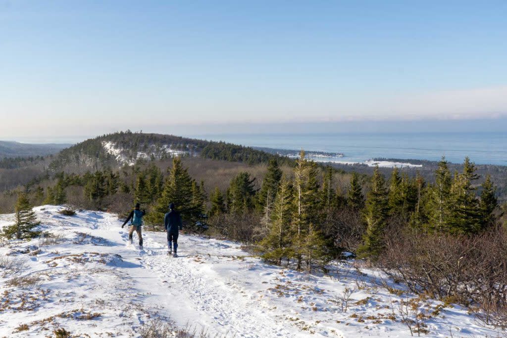
The trek to Mount Baldy’s summit passes through dense forests that thrive on thin, sandy soils.
You’ll immediately notice the forest is much more mature here, having not been logged for quite some time. Mixed northern hardwoods, pines, and other species make for a varied forest view. Catch it after a round of lake-effect snow for an idyllic scene as you tromp along the trail! Soon the forest gives way to one dominated by oaks that thrive in the rocky, dry soils found along the ridgetops. It’s a cool transition so be on the lookout for when it happens.
BIG VIEWS
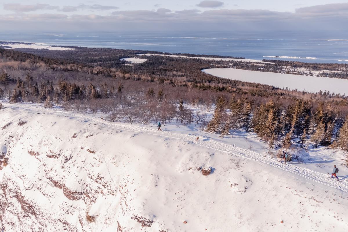
After an hour or so of trekking you’ve finally reached the top! Big views abound…But don’t be fooled! This isn’t the summit! You may have thought you made it, but you still have half a mile to go when you hit the ‘false summit.’ This is your first real taste of what is to come. Lake Superior lies off in the distance, while up ahead the real summit pokes through the surrounding forest. Don’t give up yet because it gets even better.
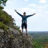
Mount Baldy gets its name from the exposed volcanic bedrock void of significant vegetation.
A little bit of down followed by one last push up will get you to the top. It’s clear why they call it Mount Baldy, as there are hardly any trees up here! A massive cliff drops off on the southern side of the hill, a billion-year-old legacy of the massive lava flows that once covered this region. Keep your dogs and kids under control because it’s a long way down!
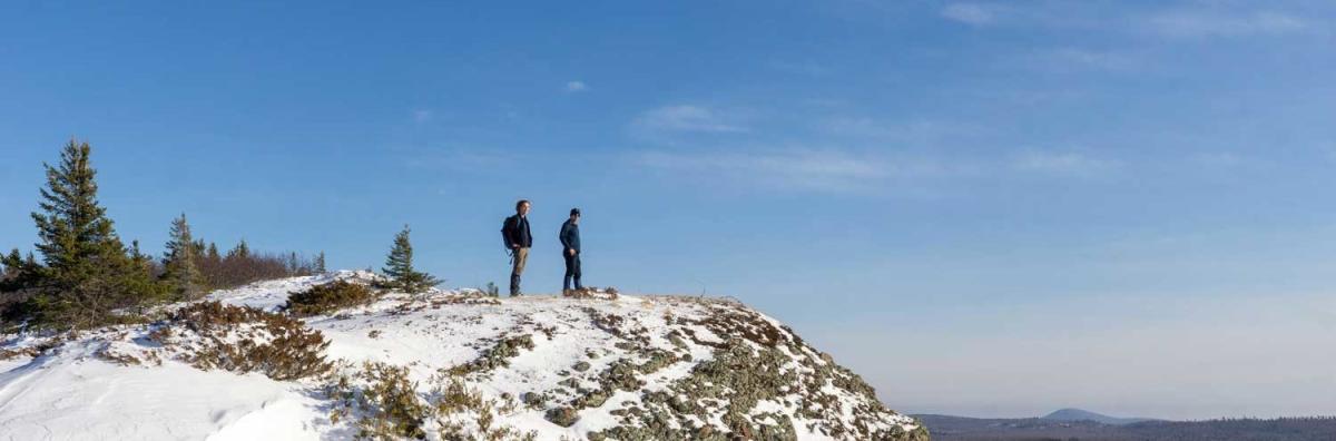
The breathtaking view of Lake Superior is your reward for your nearly 3 mile trek!
Lake Superior makes its presence known in all directions to the north. If you’re lucky you might even get a glimpse of Isle Royale far away in the distance. Closer to home, Eagle Harbor is visible nestled along the shoreline to the northwest. Off in the distance to the east, you can see the snow-covered summit of Brockway Mountain, while further south lies Mount Houghton, Mount Bohemia, and Mount Horace Greeley. You can see almost everything from up here!
Despite minimal soil and strong winds, some vegetation manages to grow on these balds!
The harsh weather and thin soils at the top of the hill dictate what can grow in this inhospitable habitat. Small shrubs and lichen grow along the cliff edge, eking out a living on whatever they can find. ‘Flagged’ trees are pummeled into shape by high winds and can be deceptively old. Some of the trees at the top of the hill could easily be twice as old as their counterparts of similar size at the bottom! Be on the lookout for birds of prey that use the top of the bluff as a launching point for their aerial hunts.
Once you’ve had your fill of the view (and a snack to recharge), retrace your steps back down the trail. The trip back down the hill will be much quicker than going up!