What Makes Silver Mountain Special?
Silver Mountain is a massive outcrop of basalt that rises over 250’ above the surrounding landscape. Poking out well clear of the trees below, the views from the top stretch in all directions. Silver Mountain is conveniently located in the Ottawa National Forest which means the public is not only allowed to visit, but actively encouraged to! Work has been done recently to improve this scenic site for visitors. Although it is best visited in summer and fall, I’ve made it out here in all seasons – even winter! Silver Mountain is 36 miles south of Houghton, a journey that will take about an hour by car.
The Hike
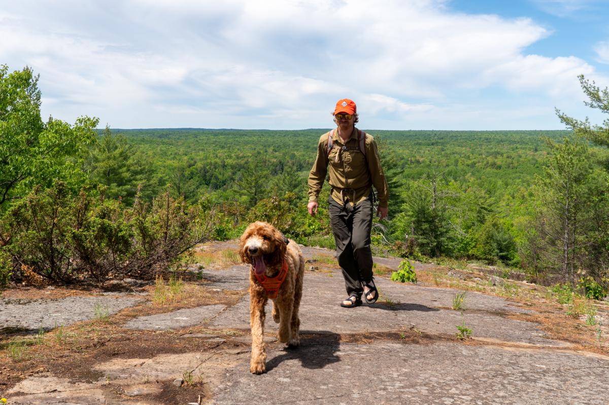
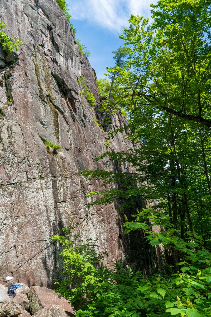
Getting to the top of Silver Mountain requires an intermediate-difficulty hike over rugged terrain. It’s only 0.9 miles from the parking area to the top, although it feels much longer. You start out on relatively gentle ground, traversing a beautiful hardwood forest on a combination of trail and woods road. You’ll quickly come across one of Silver Mountain’s most notable features: a HUGE cliff! Marvel at this outcrop from below because you’ll soon be on top of it (fortunately the easy way).
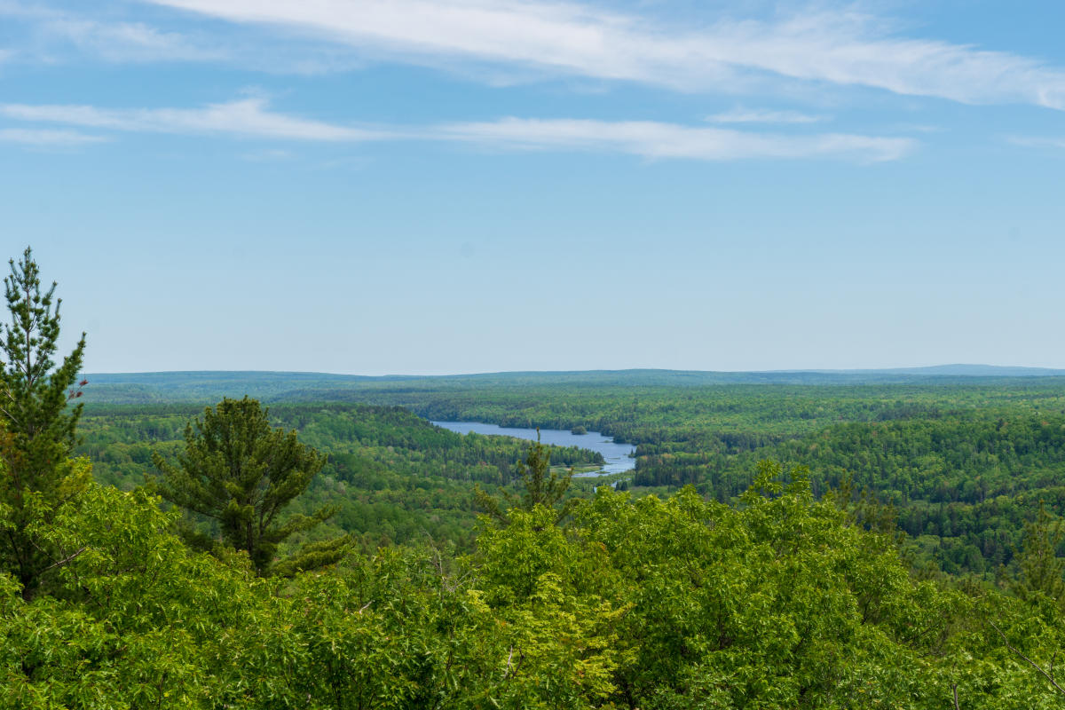
The trail continues uphill and becomes more challenging as you go, eventually rising above the forest below. The maples give way to oaks and white pines as the soils become thinner and dryer. Several viewpoints along the way give you excellent opportunities to take in the surrounding landscape. Eventually you’ll reach the top where the most impressive views can be found. From up here, you can easily take in the views over Prickett Lake to the north and the Sturgeon River Gorge Wilderness Area to the south. There are no signs of development from up here. Just you and endless miles of forest.
Heading back the way you came will return you to your vehicle. For added adventure, be on the lookout for unmarked spur trails that will lead to additional viewpoints and access to the top of the cliff. Watch your step though because it’s a sheer drop and a long way down.
Expect to spend at least 1.5-2 hours here depending on your fitness and the number of bonus adventures you dig into below.
Geological History of Silver Mountain
Like most of the gnarliest geology in the Keweenaw, Silver Mountain was formed over a billion years ago during the Midcontinental Rift geological era. Over the course of a few million years, huge lava flows blanketed the region, some tens to hundreds of feet thick. Faulting, rifting, compression, and sedimentary deposition eventually left us with the landscape we have today. Silver Mountain is made up of over a dozen of these lava flows, all stacked on top of each other and visible if you know what to look for. Through a quirk in geology Silver Mountain is relatively isolated from the other flows further to the north, separated by a wide expanse of red Jacobsville Sandstone.
That may be the quickest geological overview you’ll ever get! You can learn more about the Keweenaw’s geology by visiting the Keweenaw National Historical Park or any of the partner museums in our area. They’ll fill you in on the nitty gritty details better than this amateur rock-licker can muster.
Glacial History
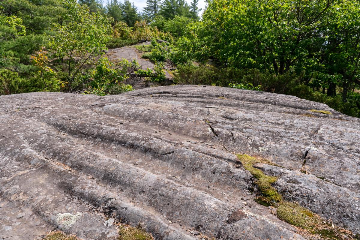
During the last ice age, huge glaciers scoured the landscape clean. High peaks like Silver Mountain bore the brunt of the ice, the evidence of which is easy to spot. About 0.6 miles into your hike you’ll discover a series of deep glacial grooves in the hard basalt. As the glaciers churned over the hill, rocks caught under the ice slowly eroded channels in the rock face. This can be used to interpret which direction the ice was heading! Silver Mountain’s glacial grooves are some of the best examples in the region and the easiest to find.
Silver Mountain Mining History
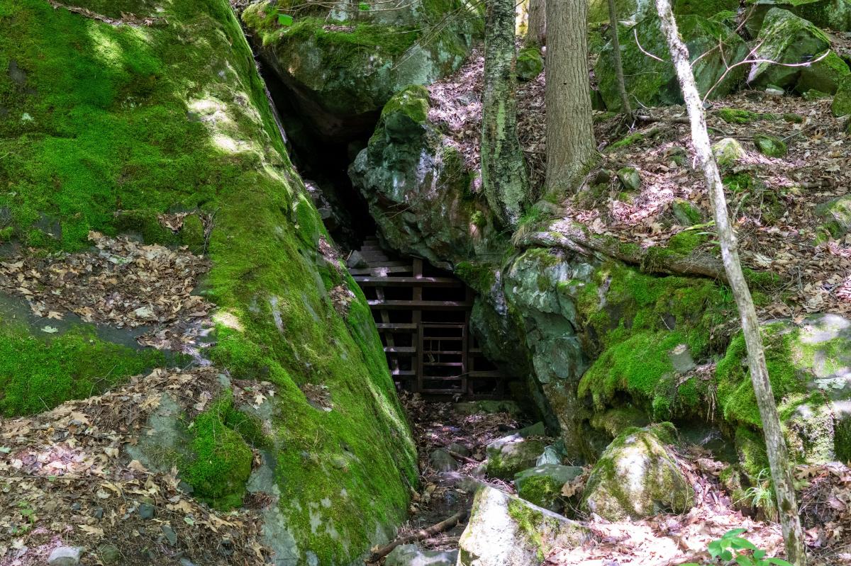
Thinking that there must be something worth digging for in a hill called Silver Mountain, the National Company drove a 100’ adit into the base of the hill in the mid-1850s to see what they could find. The results? Not much! The mine was quickly abandoned and can now be viewed just to the right of the parking area, opposite the trailhead. It is blocked with a gate to prevent people from entering, giving bats a safe place to hang out during the winter months.
From the 1920s through the early 1970s, a 40’ high wooden fire lookout tower was located on top of Silver Mountain. Though it’s long gone now, the concrete pedestals the tower once stood upon are still visible near the summit.
Finally, the trail described here is relatively new! In the mid-1960s a steel staircase was installed adjacent to the adit, heading straight up the rocky bluff. It was quite steep and a headache to maintain, not to mention super sketchy when it was wet. Just a few years ago the Ottawa National Forest removed this feature and established a new hiking trail to get to the top. While longer, it is much more enjoyable.
Climbing
Silver Mountain is one of the top spots for rock climbing in the Keweenaw area. With a few dozen routes between 5.6-5.12 in difficulty, you’re bound to find something within your wheelhouse. The cliff is over 140’ tall and several routes have multiple pitches, making this a great place to practice your skills. There are both sport and trad routes, not to mention a roof feature that isn’t too common in our area. We’ll feature more of this in a future blog post because this is one place you don’t want to miss!

Interested in updates, travel tips and quirky information about the Keweenaw? Just sign up for the Keweenaw Explorer, our monthly e-newsletter. Complete the form…