The Keweenaw has beautiful waterfalls everywhere you look. From the enormous Houghton-Douglas Falls to the scenic drops at Hungarian Falls, there’s a good chance you’ve been to our more reputable scenic locations. There are plenty more around if you know where to search, many of which are off the beaten track.
Hogger Falls and West Branch Sturgeon Falls fall into this category. Located south of Nisula on the West Branch Sturgeon River, these waterfalls are relatively easy to access yet receive comparatively few visitors. They’re absolutely worth a visit if you ask me!
Although each waterfall may only be 6’-10’ high, the sheer number of them and the wild feeling of the river gorge make for an excellent afternoon hike. I wouldn’t recommend this one for people who are unsteady on their feet or are prone to getting lost. It’s definitely a medium difficulty hike and a great first step in exploring the relatively uncharted backcountry of the Keweenaw
Read on for an in-depth guide on how to see these falls during your next spring adventure in the Keweenaw.
Getting There
Both falls are located on Ottawa National Forest land and are open to the public year-round. The best time to visit is late-spring when the river is at full capacity and the falls are roaring. Summer and fall are also nice, particularly with autumn colors setting a beautiful scene.
From M-38 in southern Houghton County, take Newberry Road to head south towards the West Branch Sturgeon River. The road isn’t all the way plowed in winter/spring, so plan to park where the plow line ends about 0.9 miles in. Be careful not to block the private driveway. From here, follow the road south for another 2 miles on foot. You may need snowshoes if the snow is still thick. In summer and fall you can continue driving along Newberry Road the entire way. After just under 3 miles total, you’ll reach a gate on your left for Forest Road 1755. Here’s where the adventure begins.
The Hike to the Falls
Whether you drove or hoofed it to the gate, you still have a bit more hiking to go before you check out your first waterfall for the day. Don’t worry though, because once they start they come in quick succession. I prefer to start at the ‘bottom’ end of a series of waterfalls and work my way upstream. That way I get to see each waterfall head-on for maximum effect.
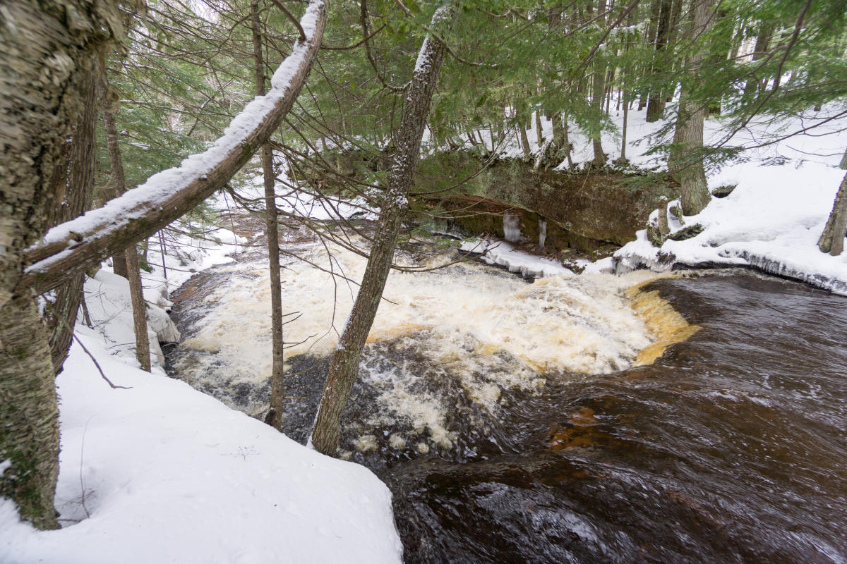
Forest Road 1755 is somewhat overgrown in spots but relatively easy to follow. You quickly enter into a mature northern hardwood forest that is quite scenic all on its own. The road peeks out over the river in a few places along the way. Continue on it for about 0.8 miles before heading downhill towards West Branch Sturgeon Falls, located at 46.7217, -88.7990. You’ll likely hear the falls rushing below to help guide the way. There are no trails, so choose your own path and enjoy!
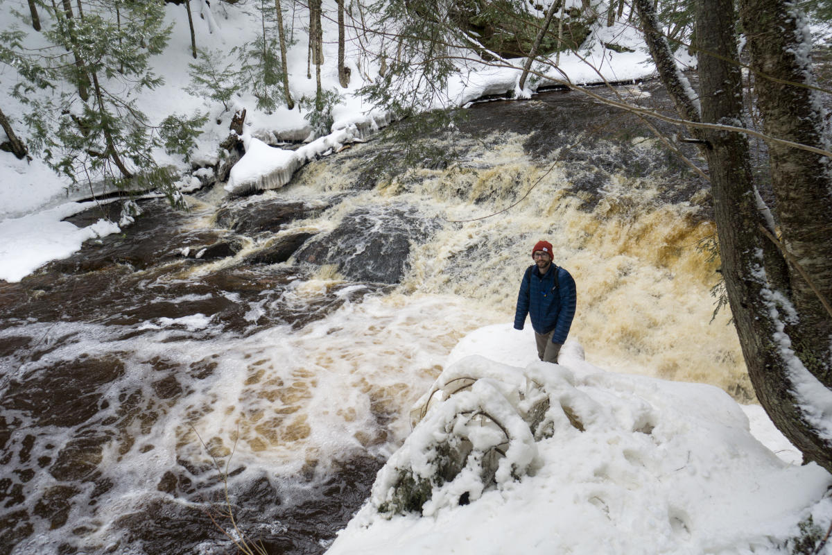
Once you hit the river, take in your first of many unique waterfalls. There are no fewer than a half-dozen distinct drops along this half-mile stretch of river. Only the West Branch and Hogger Falls have their own names, the rest possibly just being considered rapids to cartographers who originally mapped this area. Either way, they’re a beautiful sight.
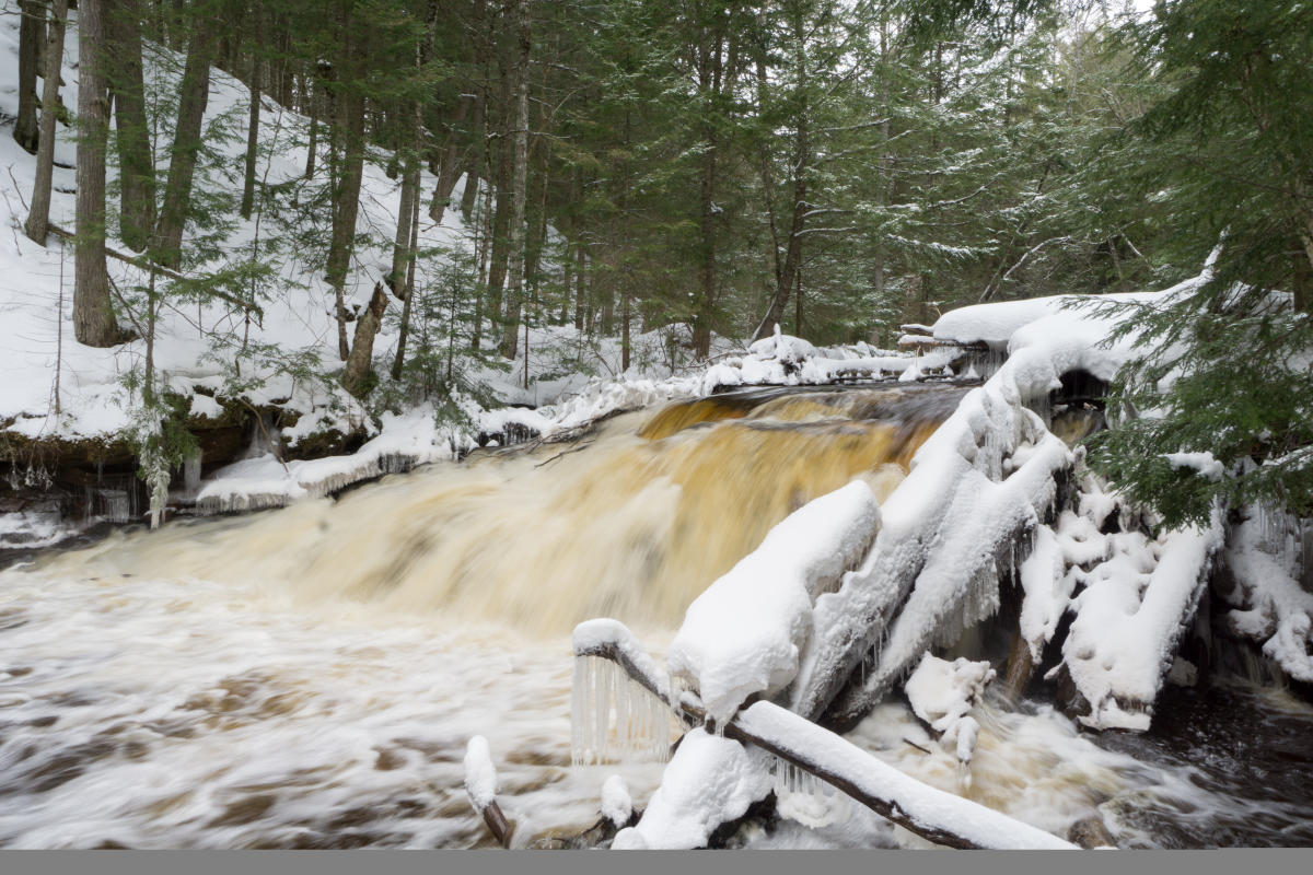
Slowly work your way upstream along the northern river bank, being careful not to slide into the river if there’s still snow hanging along the steep banks. Crossing is possible at lower water levels in the summer and fall, but I wouldn’t advise trying in spring. That’s okay though, because some of the best views are from the northern riverbank anyway! The geology along the river is sharply defined and still visibly eroding. In some areas large white pines and hemlocks vie for space alongside huge outcrops of sandstone. At times this may impede your progress upstream, but that’s all part of the adventure. With no trails or signs pointing the way you’ll have to trust your instincts and keep forging ahead.
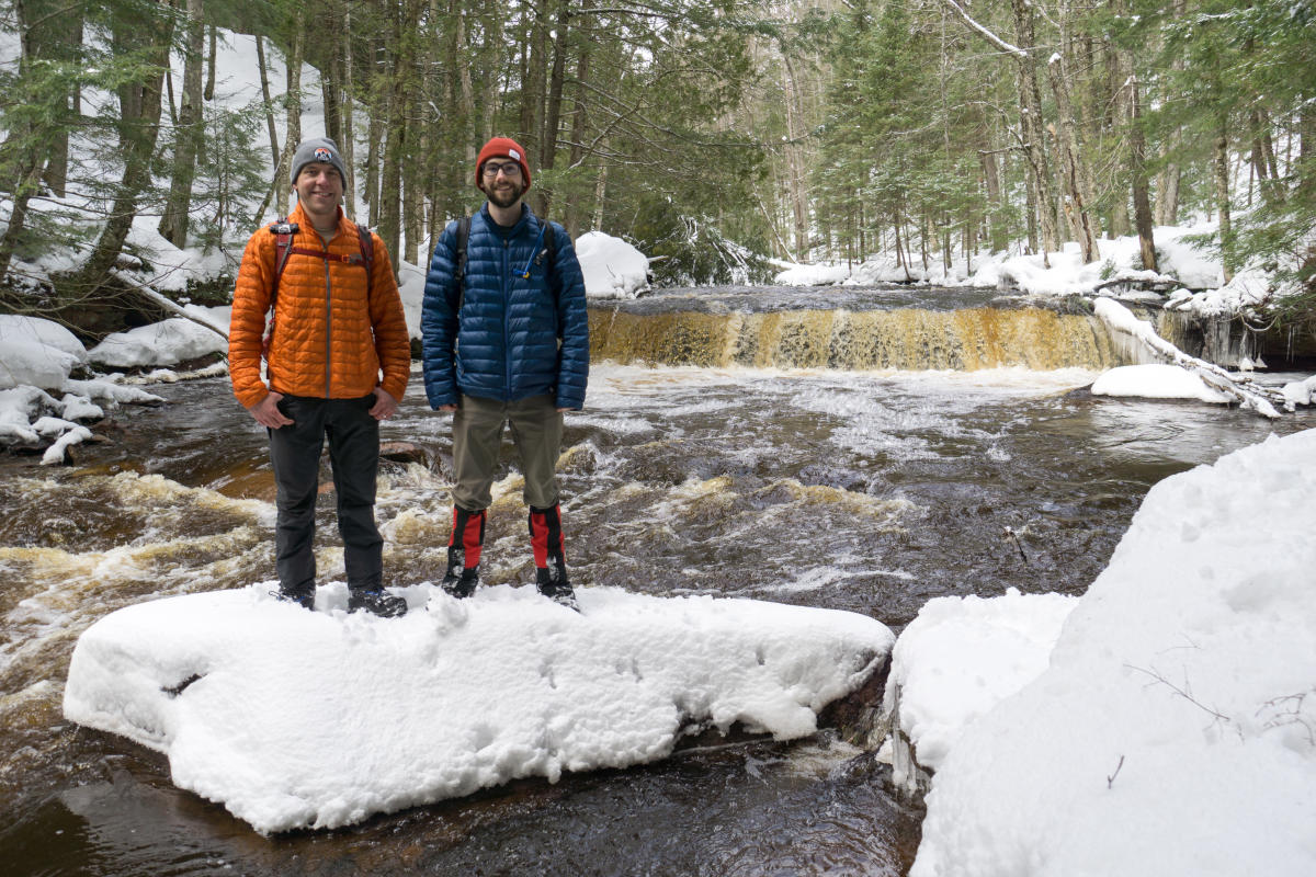
Eventually the river will flatten out as it gently meanders through a shady hemlock grove. Your hike isn’t quite done yet though! Keep hiking upstream until you eventually reach Hogger Falls (46.7238, -88.8041). This waterfall is bounded by a sheer wall of crumbling sandstone on one side, with a gentle slope allowing easy access on the other. Lucky for you, the easy side is in your favor! Once you’ve gotten your fill, hike uphill from the river until you reach the road you came in on. Head to the left (west) to reach Newberry Road and retrace your steps to head home.
What to Bring
As with all adventures off the beaten path, you should be prepared for anything on this hike. Snacks, water, and extra layers of clothing are a must. A dedicated GPS unit or phone with GPS capabilities will help you tremendously. I wouldn’t count on there being much cell service down in the river valley. Be sure to let someone know where you’re going before you head out and when you expect to return. Remember to follow Leave No Trace principles while out exploring. Last but not least, don’t forget your camera!
If you want to get an idea of what’s out there or can’t make the trip yourself, be sure to check out more spring and fall photos of this adventure. Hungry for more waterfall adventures? Check out this list of Keweenaw waterfalls.